After I woke up the next morning I got my first surprise of the day: I've been camping in some kind of limpet. They were sticking on simply everything: my socks, on and in my shoes, on my tent even on my skin!! They were definitely the most penetrating kind of limpet I've ever seen, sooo hard to remove, all hundreds of them and the next problem was that I forgot that I had to get out of the grass first so I could start gain pulling them off on the street.
 |
| Everywhere and sooo hard to remove! |
After 30km of cycling through the foothills I had to make an important decision on how to get to Yosemite from there. I had two options which were both damn hard to ride just according to my map. Cause there was no road following the Merced River upstream to Yosemite Valley from here, both roads were going over the mountains:/ The first option would have been to take a 50km detour doing two 500m-climbs including the 600m up the Valley at the end (1600m uphill in total). The second option was to take the straight way to the valley climbing up from 300m to 1900m over the closest mountain ridge between here and Yosemite, maybe including some up and down in between. Because I assumed that although the straight route seemed harder it might take me faster to Yosemite so I didn't think much more about it and started on going up.
 |
| On the first 800m-climb of the day |
What I missed somehow was that after the first 700m uphill the road went down again, maybe 100 meters and then a little bit up, then down and so on...
This continued for at least 30km so before the final climb I already did 1700m in altitude but gained not even 900. I'm not exaggerating when I say that the final 600m-climb didn't feel very comfortable anymore to my knees but I wanted to reach at least the summit that day for not having to do another climb the next morning. And so I did. Around 7pm I finally reached the top of the pass and still had an hour left till sunset but I decided to stay at the top and save the 700m-downhill to Yosemite Valley for the next day. For the first time that day I could take a clear look on the landscape around me, cause I haven't been able to enjoy it on the way up really. From here you could overlook the whole western Sierra during the sunset, what an amazing view!
 |
| "right lane turns right ahead" you can't be serious!:) |
 |
| In a traffic jam in front of the northern entrance |
 |
| I'm there:) |
 |
| Burned forests along the road. |
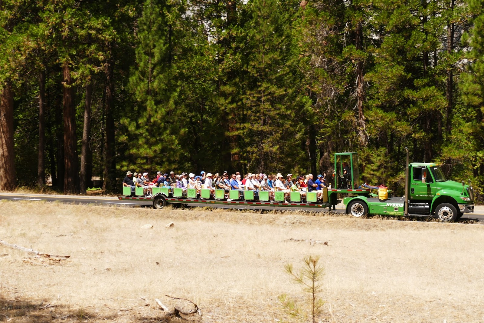
The only problem was to find a place to sleep. Cause I had entered the National Park already I wasn't allowed to sleep just anywhere (what I probably wouldn't have done anyway because of all the bears in the park.) So I had to take the only campground up there which would have been something around 25$ for me according to the guy in the gas station. But I was lucky again: the campsite was full and the rangers already left at 8 pm so I just entered the campground, chose a random site and asked the people there if I could pitch my tent somewhere (I mean there was plenty of space for hundreds of other tents although every site was occupied apparently). As I expected, it worked already the first time and I could stay on the site of a young couple from the East Coast (New York or somewhere over there) who were on a 6-week road-trip across the US. They were really nice and told me about their trip as I told em of mine and we ended up playing rummy the whole evening till it became to dark, which I luckily learned just a couple months ago in New Zealand (thanks to Jake Sowe for that, I won a round;) They even offered me some S'Mores, a marshmallow and some chocolate between two crackers which apparently is one of the most popular campfire-snacks in the US and I really liked it! They were kinda shocked when they found out that I've never heard of it or even seen it but I'm intending to spread it out in Europe successfully:). Cause of everything they offered me I had to give something back which were a few dollars for the site and some of my Mac&Cheese which was way to much for me anyway:)
So I can say that this evening definitely saved my day after setting a new altitude-record: 2386m/7820ft uphill lifting my average of the last five days now over 1700m/5600ft per day, definitely the most exhausting week I've ever had!
 |
| A "S'More" weird look bit very tasty! |
 |
| They definitely made sure they don't have to refill the toilet paper for a month!:) |
The next day I could finally do what I've been looking for for weeks: Visiting Yosemite Valley:) But before I could start my down-ride I had to see something else what I've camped just a mile away from: Giant Sequoia Trees! There're three Groves in the park and one of them, Tolumne Grove, was just a mile-walk away from the road so I simply couldn't miss the chance of seeing the biggest trees in the world! (The tallest Sequoias are the Coastal Sequoia Trees which grow in northern California (up to 115m/377ft) but these ones here are the ones with the largest volume, so they've got the biggest trunks) And they weren't kidding! Wow, wow and wow! These trees are massive! With a diameter of 6 or more meters (20 or more feet) it needs at least 10 or more people to "hug" the tree completely and these ones aren't even the biggest ones, which you can find in the Sequoia National Park south of Yosemite (up to 95m tall and more than 8m wide at the bottom) but still super impressive!
 |
| Me and an other guy in front of a giant fallen Sequoia |
 |
| me compared to the biggest tree in Tolumne Grove |
After this short walk I could start my down-ride to my big goal of the day, the actual Valley.
Already what I've seen from approaching on the pass road was stunning: Although Yosemite Valley is a super touristic place (they even built a one-way road system to avoid traffic jams in the park) they managed it somehow to hide most of the buildings and streets in the pine forests so it still has most of its natural look:) Besides of that it looks just breathtaking. Looking into the valley you got to see the Bridalveil Falls to your right and the giant cliff of El Capitan with it's fmous 900m-vertical climbing route called "The Nose" on your left. Going deeper you can spot the famous mountain "Half Dome" in the very back of the valley which looks like a bowl cut in half and the also famous Yosemite Falls on the left side of the valley. Everything so close together that you could see everything within an hour but what I wanted to do was hiking up to at least one of these spots at the top of the upper rim of the valley to get a look from above.
As I expected there was no permit available for Half Dome that day so I asked for the hike with the best view over the valley and the woman at the Visitor Center suggest me hiking up to Glacier Point, a scenic overlook from the east side of the valley from where you could see apparently pretty much everything of Yosemite. Unfortunately as I was used to already, there was no storage available anywhere so I had to leave my bike including all my bags behind and hoped that I would find everything locked at a fence again when I would be back.
 |
| El Capitan and "the nose" at the entrance of the valley. |
 |
| My "favourite" kind of tourism:) |
 |
| Yosemite Falls almost dried out during the summer. |
The hike (800m uphill) was pretty awesome with all the scenic overlooks I was promised (for more details look at the photos) it took me almost 2 hours uphill and 1 1/4 down on a super well maintained trail. The only bad thing was that Glacier Point on the very top was also accessible by car so you get hundreds of people up there and lots of tourist buses with people from everywhere in the world but what should I expect from on of the most famous places in the US:) By the time I was back (bike and bags still there:) it still wasn't too late to cycle up to an overlook called "Tunnel view" from where you can take one of the most famous photos of Yosemite (the one you always see on postcards) and I even got this view during sunset! After that I still got enough time to cycle out of the park (actually I had to cycle 2 miles back into the valley because of the one-way-system:/) and left the park at the El Portal-Entrance at the western end following the Merced River downstream till I found a neat place to camp on an abandoned picnic area.
 |
| Looking west out of the valley |
 |
| The eastern end of the valley with the famous Half Dome |
 |
| On the top of Glacier Point |
 |
| Waterfall you would pass on the hike up to Half Dome |
 |
| Found a swimming hole at the river, but soooo cold! |
 |
| Most famous overlook from Tunnel View with El Capitan on the left, Half Dome in the back and Bridalveil Falls on the right |
 |
| Moose right next to road |
My goal for the day after Yosemite was clear: Leaving the mountains now! During the last week I did more than 10000m/32800ft uphill (by bike and by foot) and although I wouldn't say it wasn't nice I definitely wanted to have at least one or two days of flat and comfortable cycling after this!:) How convenient that the big Californian Central Valley was ahead which I head to cross diagonally to get to Paso Robles and then to the coast. The Central Valley, more than 600km/370mi long and 80km/50mi wide was the perfect environment for chilling and making lots of distance the same time. If just the wind would blow the right direction... and it did!! Once I was cycling out of the foothills after Mariposa I got a gentle wind blowing from the north while I was heading south after the village of Planada almost straight for the next 150km! To be honest, cycling through the central valley during the summer heat is quite boring cause the only thing you're gonna see for over 150km are corn-fields and almond orchards, nothing else!! The same plants everywhere in this giant valley. Even a single orchard has the size of several square miles (they're so big that it's easy to hide in so I used one of these as my sleeping place for the night). I really wonder where they get all the water from to irrigate all this cause everywhere you can see canals with open flowing water between the fields. With this massive evaporation that must cause it's no wonder that they get such severe water problems here in California during droughts. Another thing I noticed while cycling through this valley was that almost everybody here seems to have an Hispanic background. It changed just out of the sudden when I entered the valley, maybe that's because the have many Hispanic workers here on the farms? I don't know but it's like Spanish seems to be the only spoken language, it really felt like cycling through a different country:)
 |
| Camping St an abandoned picnic area next to Merced River |
 |
| Cycling through the foothills of the Sierra |
 |
| Finally out of the mountains! |
 |
| Got this view the whole day! |
 |
| At least it's pretty good for camping in:) |
 |
| By far the largest cup I've seen so far: 52oz/1,5l !! |
 |
| Cycling healthy... |
 |
| ...and yummy!:) |
 |
| Impossible to see the end of that! |
This valley was so big that I needed till the next evening to leave it in the southwest after passing the small town Avenal and cycling over a small pass into the coastal hills near Paso Robles where I stayed the next night. Everything around here looks as dry as in the desert although I already crossed the Sierra Nevada, so strange! Wether they've got still this severe drought or that is normal during the summer here but so dry while being so close to the sea? I really wanted to find out about this later but I wanted to reach the coast first!:)
 |
| Leaving the central valley, not much difference to the desert really but good for photos:) |
 |
| Last inland campsite before reaching the coast:) |
The next day I was supposed to finally reach the other side of the continent after 71 days of cycling and already more than 9000km behind me! But first I got slowed down by something I really wanted to do for weeks now and somehow never got the chance really: Eating in a Denny's. Since I got the tip from these three fellows back in Utah I passed dozens of Denny's but somehow never been hungry enough to afford the Pancakes-All-You-Can-Eat for 4 Dollars. But this time the Denny's in Paso Robles appeared at exactly the right time and as I definitely wanted to sit in one of these before finishing my trip this was the perfect moment:) And it was awesome! I loooove american pancakes and although this is kind of a pancake-chain and I'm not an expert, I guess that they're really good, fresh made and served together with some kind of butter and maple syrup, sooo delicious. Once I got my first plate I already ordered the second one and recognized why this would be probably my only time in a Denny's on this trip. For a hungry person it takes just soooo long. It may could have been way slower but the All You Can Eat is really like you have to ask for another two pancakes every time, they write down your order, bring it to the kitchen, make two pancakes, bring it to you and you're finishing them within a minute (at least I did:) and so you have two wait 10 to 15 minutes every time for just two pancakes which is too long for me also considering that you have to wait a couple of minutes extra at the beginning to be seated and until the waitress comes to pick up your order. But I really don't wanna say it's bad, it really isn't! It tastes awesome, it's just not like in a fast food restaurant where you can pick up your food quickly when you're in a rush.
 |
| Yummy! |
On the last 30km/19mi to the coast then I passed the first warning-sign of a large wildfire north of Big Sur, a little town 100km north on Highway 1. I talked to several people about that before and they told me that they might gonna close the road soon if the fire would come closer to the highway but that would mean returning the whole way back and doing a 300km-detour inland which I really didn't wanna do so I just went on taking the risk of turning back. While I was getting closer to the coast the temperatures dropped steadily what I was expecting cause I heard of the moderate climate there before but this was just crazy. From almost 37°C/99°F in Paso Robles the temperatures dropped to almost 17°C/62°F when I reached Highway 1. With the rough wind blowing from the sea I was really freezing!
But I was there, just a few kilometers later I finally was standing in front of it: the Pacific Ocean! What a feeling. Waited more than 70 days for that and now I completed the crossing (but not the trip, please keep reading!:) and was looking at thousands of kilometers of water in front of me.
But it looked totally different than I expected! For everyone (including me) who expected blue water, sunshine and summer feeling, forget it! A main reason because it looked so different probably was the large bush fire north of Big Sur. Although it was more than 100km/60mi north of where I was the wind was blowing from such an unfavorable direction that the smoke covered the whole sky and painted everything in an incredible red color in the middle of the afternoon! I'm not kidding when I say that it was literally raining ash! To be honest, this environment with its cold and windy weather, the rough and steep cliff-coast, the dark smoke-covered blood-read sky and the rain of ash rather reminded me of Mordor in the Lord of the Rings than of what you call "The Golden State". It kinda felt like being in the wrong movie where they changed pretty much everything I was used to. And if I was still something like 100km away from the fire, how would it look like up there? I didn't even want to think about it!
 |
| Warning signs of the big bush fire everywhere on the road |
 |
| The last down-ride to the coast! |
 |
| There it is: Highway 1:) |
 |
| Brrrrrrh! |
 |
| The west coast, there it is! |
 |
| The sun, barely visible through the smoke. |
 |
| No sunset yet! (4pm) |
 |
| Mordor or Golden State? Mmmh... |
 |
| The sea-elephants look like they would enjoy this climate:) |
 |
| White ash raining down on me! |
 |
| And last but not least my route |


Keine Kommentare:
Kommentar veröffentlichen